Day 322: Colchester to Mersea Island
Distance: 22.02 miles
Ascent: 778 feet
Weather: Overcast with Showers & Sunny Spells
Accommodation: Wild camp Just Off Mersea Island
Even though she had been unwell Mrs Khetarpal had been very kind and I had had everything I could have possibly needed for my rest day. Her friend Peggy was kindly dropping me back the short distance to my start point at the road bridge across the River Colne and I was on my way a little bit after 8.
The first couple of miles followed along the river, though this side was less trodden than the other, as far as Rowhedge. At Rowhedge the path heads up a different channel, interestingly called Roman River on the OS map. Fortunately, I didn’t have to head up this far as there was a way across near an old converted mill, it was though very muddy in parts.
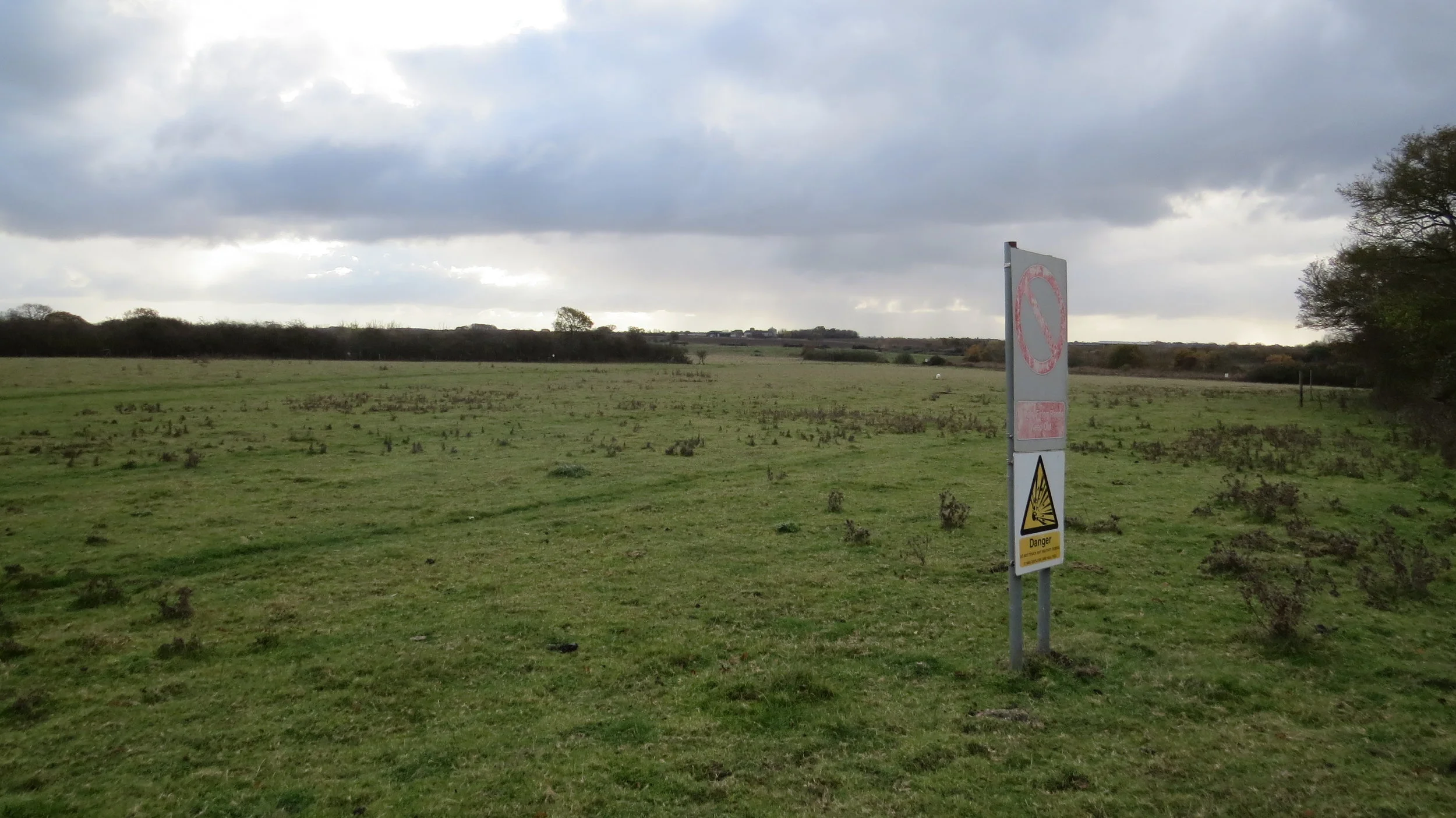
Around Fingringhoe Wick it was hard to know where you could walk from the map, and also being bordered by the military range I took a more certain route from Fingringhoe to the edge of the military range. The forecast had been dry for today but it was clear this was wrong as there had already been sporadic showers including some heavy but short ones.
I now followed the footpath around the military range, and it was quite disconcerting hearing someone giving orders and then hearing significant gun fire not far away but not visible. In fact the path had been altered a bit which confused me but after less than a 1km it realigned with that shown on the OS map. The path hit a farm track where it headed up to the Mersea Island road, this road had little verge and an unbelievable amount of traffic for a small island. I had to walk along it for about 800m and was extremely glad to then join a footpath.
There was a corrugated barn in the first field along this path and I decided to use it as shelter whilst having a short break. My timing was so lucky as it started raining heavily for about 5 minutes just after I got under cover. It was clear there was going to be more rain, so I decided to complete my waterproof look by putting the waterproof trousers on.
I followed the embankment till just shy of the Mersea Island causeway, there is a pavement over this. You may wonder why I am doing Mersea as it is ‘tidal’ and thus under my rules I could skip it. The first reason is that I hadn’t noticed the road was tidal in initial plan, and secondly the road is only affected by the tide occasionally apparently, roughly 6 days out of 30 or when the tide exceeds 5m which it was far below today.
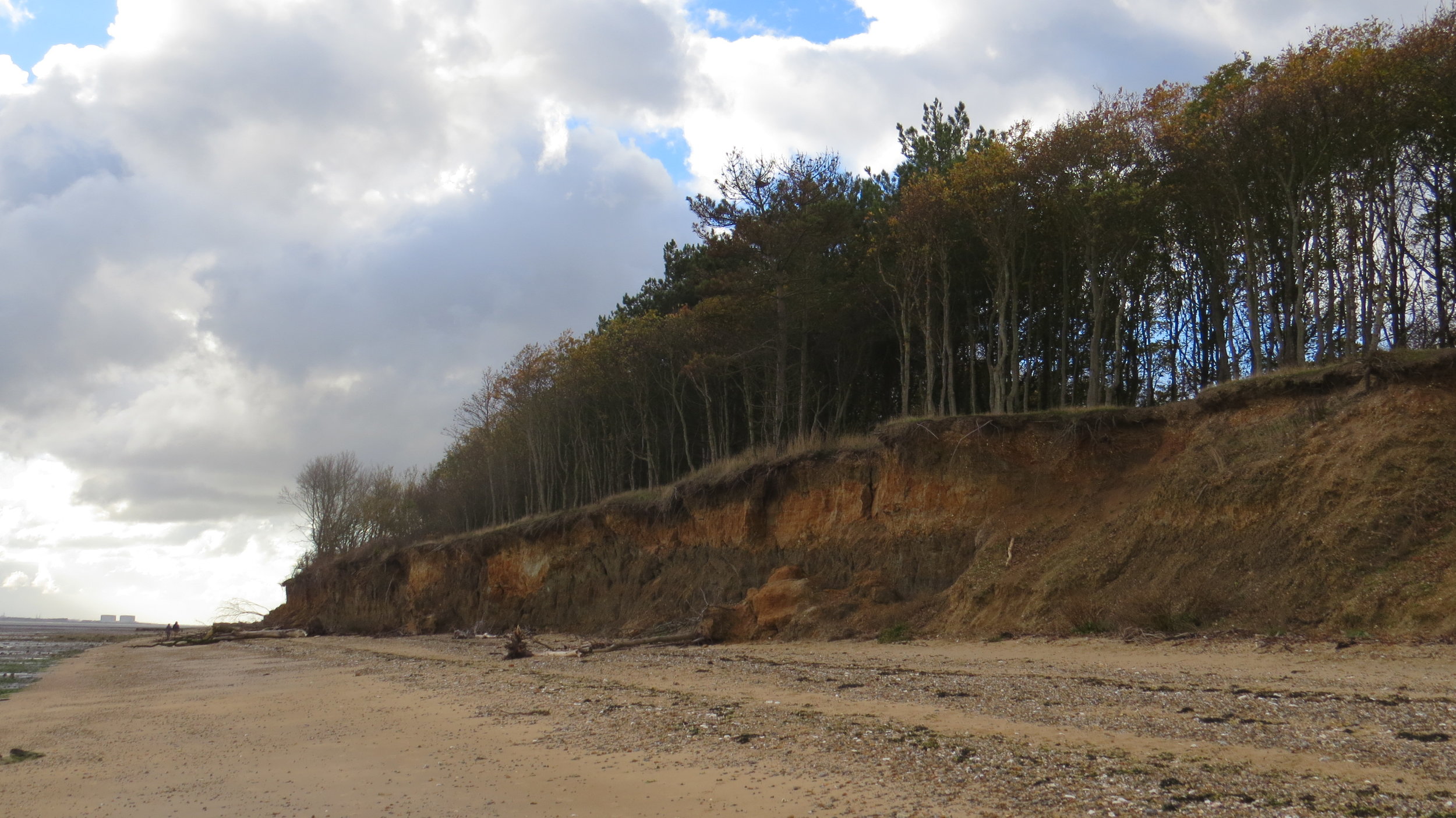
After crossing my only predicted issue was right at the beginning where I knew the embankment was breached, but fortunately they had put an alternative permissive way in here which though quite overgrown got me around an issue. I followed the embankment for about 5 miles along the north of the island and fortunately there were sunny spells for a couple of hours before turning the corner and heading along the firm sandy beaches of the South of the island. These beaches I enjoyed with the presumably old oyster beds on the seaward side denoted by the old wooden stakes, and low crumbling cliffs topped by trees in places on the landward side. Unfortunately, the sporadic rain had started again.
Just as I was coming into West Mersea I passed Seaview Café and decided to have lunch inside to warm up. I had a lovely breakfast and a tea and then when I returned from the toilet the chef had seen my poster, looked up the website and very kindly gave a donation. On the theme of donations, once I have paid the £110 cash donations on me at the moment, including gift aid we will have passed £15,000 and I am extremely grateful, and so will the mental health foundation be for the donations.
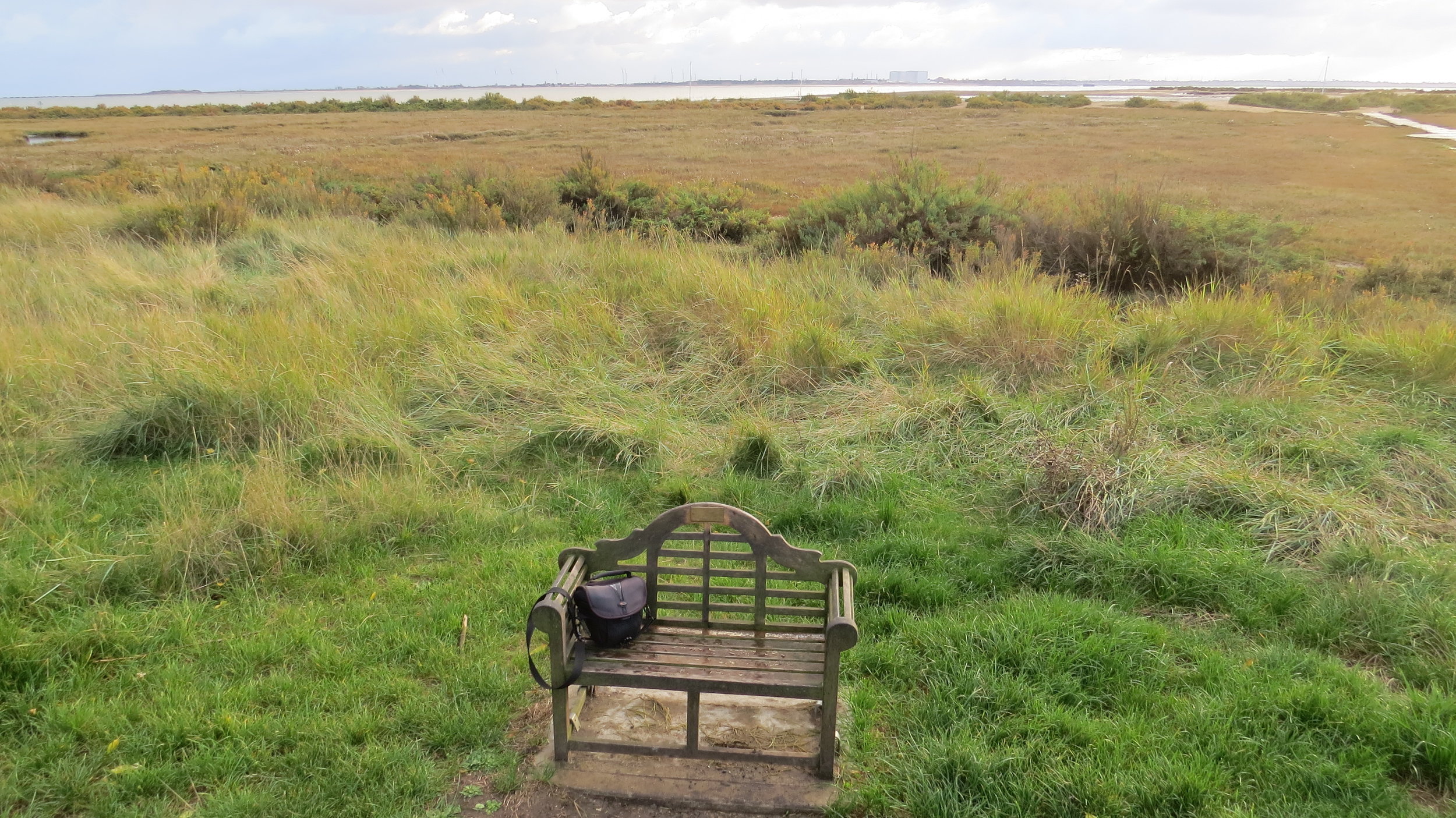
I had a bit of a dilemma now and had been thinking about it all day. My original finish point for today was West Mersea, but with a stupid amount of mileage this week (approx. 170 miles over 7 days roughly 25 miles average), limited hours of light and atrocious weather (possible snow) forecast for tomorrow it would make sense to increase today as I still had maybe an hour and a half till dark. The only issue being that back on the mainland my route would follow public roads for a few miles making camping spots hard to find. I debated for a while and decided I would walk till just of Mersea Island (couple of miles extension) and then hopefully find pitch spot tucked behind embankment.
The walk was smooth to the bridge but it was clear some heavy rain was coming, and just after crossing heavy rain started literally a couple of minutes before I would start pitching. This was bloomin annoying and there was little shelter so I just sheltered behind a bush fortunately this set of rain only lasted a few minutes or so. As soon as it stopped I found a great pitch spot behind the embankment, so quite sheltered, and next to a little lake and pitched as quick as I could as more rain was on the way. I got the tent up threw everything in and dived in just before more serious rain arrived.
I am now all snuggled up, expecting a cold night, and the rain/hail and wind has been hammering the tent for the last couple of hours. The weather forecast for tomorrow looks bleak with possible snow.
Good start to I believe possibly one of the toughest weeks of the walk, and definitely the toughest on the east coast.
NB - 16 photos as couldn’t whittle it down to 12.