Day 002: Erith to Cliffe
Distance: 21.69 miles
Ascent: 684 feet
Weather: very windy, Overcast, but dry
Accommodation: Wild camp cliffe pools
The orange part is the original planned route that I had to divert from
Well I had survived Storm Eleanor overnight with her 50mph winds, in fact due to my pitching location I was very snug, warm and not to battered by it. It was only once I had packed up and was on the move around 7.30 (before sunrise) and up onto the flood embankment path that the full force hit me.
Firstly I had to head inland to get to the first crossing point of the River Darrent, this was a completely exposed section and it was a very strong crosswind that made the going very tough. In fact it was really tough just to walk straight and twice I was actually blown of the crest of the embankment entirely. To make matters worse and really stupidly I dropped my glove whilst posting to Instagram without noticing, luckily once I noticed and turned round to look for it it was only about 300m away but still not ideal. I crossed the river and after walking 4.5 miles I ended up only 100m or so from where I started, some parts of the coast will be infuriating like that.
I could see the Queen Elizabeth II Bridge (Dartmouth crossing) from my tent and now I was on the other side of the River Darrent it drew slowly nearer and nearer. It is a very impressive cable stayed structure, which was completed in 1991, and it was built to take the extra traffic from the recently completed M25. Impressively over 4 million vehicles use the crossing every month.
I followed the path along the river, through several industrial areas passing Greenhithe before heading towards Swanscombe and Broadness Marshes. It got really strange here, as the OS path was blocked by a tall metal fence, and as I tried to divert around the fence back onto the path there were both signs saying no public footpath, but also public footpath way markers. I decided to ignore all signs and follow my route as close as possible. This turned out to be fairly easy.
After passing yet more industrial buildings I reached Gravesend. At Gravesend I walked 100m inland to St Georges Church, to get a photo of the Pocahontas statue (I first heard about this many years ago in a pub quiz). The statue is here because it is believed that she was buried here after dying on a boat that was passing Gravesend. This made me read more about her story and it is not necessarily nice reading, including being sort of exhibited in London as the tamed ‘savage’ to help gain investment for the colonisers in the area she was from. I haven’t watched the Disney animation but imagine it can’t follow the true history much as wouldn’t be too child friendly. Whilst in Gravesend I also had lunch.
After Gravesend I joined the Saxon Shore Way for the first time, this is a long distance footpath that follows the SE of England as it was in Roman times. It is 160 miles long and goes from Gravesend to Hastings. I will not be following this all the way as the coast has actually grown in many parts around these parts since Roman times so the Saxon Shore Way at points is now miles inland.
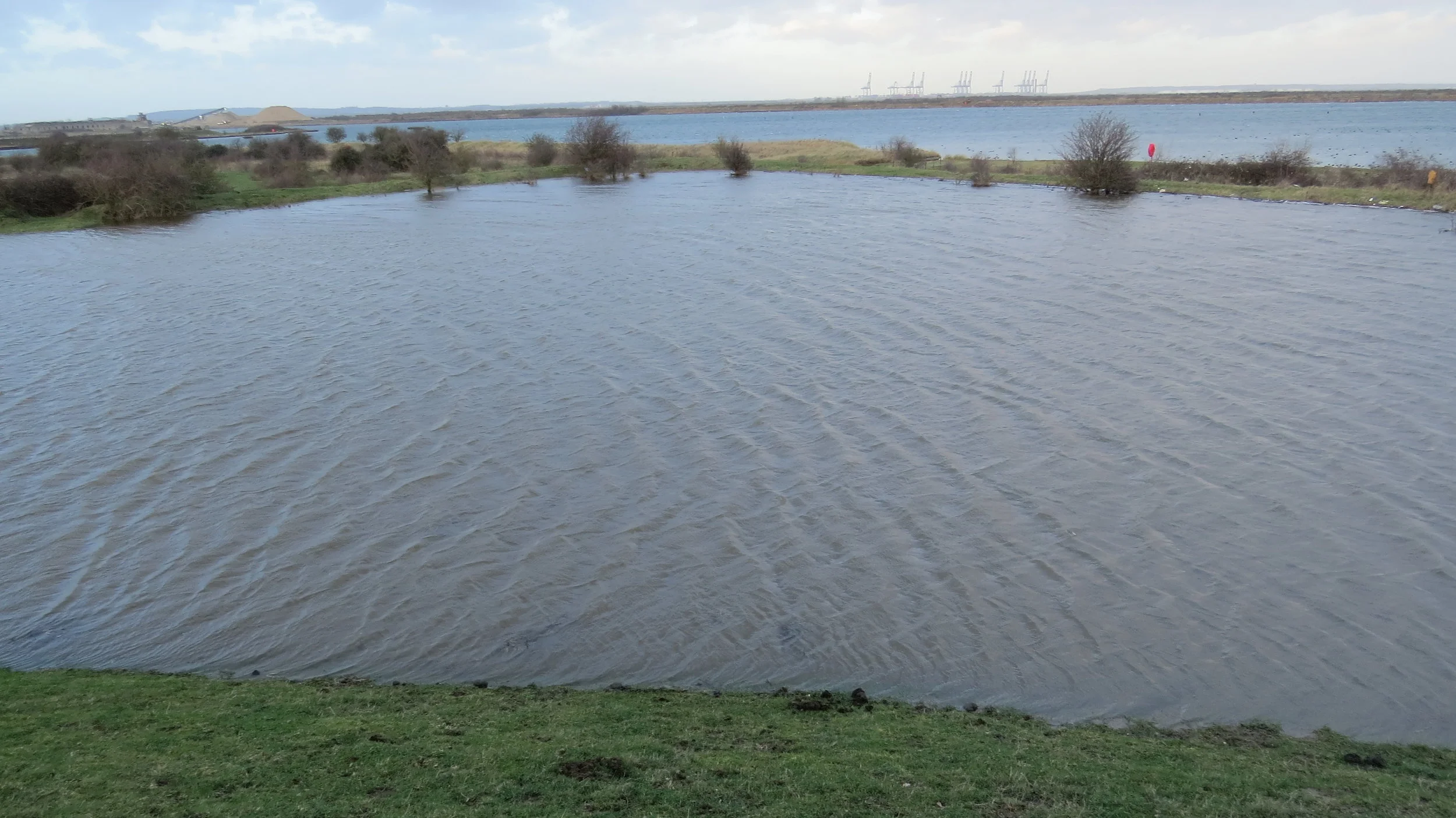
It was around now that things started to get really tough, the wind strengthened from already a great strength, and the tide was high and very choppy. At first, I considered whether it was save to go on as the embankment had broken in places, there was flooding across parts of the route and the path was only a matter of inches above the sea/river height. But about 300m ahead I saw a couple walking their dogs in the same direction. So I went for it, passed several breaches in the embankment, through flooded areas (luckily none higher than my boots) and finally caught up the couple. They were local, but even they said they had never seen the route anything like this. At Shornmead Fort, they turned off, but told me the next bit was raised more so there should be no issues.
Famous last words and for 1km or so it did improve, then literally in front of me parts of the path were being eroded and once I came to a point where there was a 30m wide deep flooded section, I decided it was impassable and becoming dangerous, so I took a short detour inland around the gravel works and into Cliffe. It was a shame to do a small detour from the planned route, but it was definitely the right thing to do and covered almost identical distance anyway.
Once at Cliffe I found a nice little spot nearby to pitch.